Arctic Portal Map Gallery
About Arctic Portal Maps
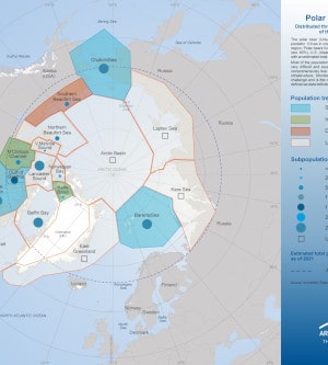
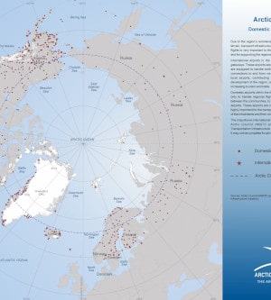
Arctic Portal specializes in creating customized graphical maps that cover a range of significant Arctic topics of Global importance and recognition. The Arctic Portal Map Gallery includes a wide selection of our custom maps. The maps cover a variety of topics of highest relevance, divided into the following categories: Arctic definitions, Arctic Sea Ice, Shipping, Governance & Arctic Organizations, Arctic Flora, Arctic Fauna, Infrastructure, Environment and Arctic Countries and Islands.
We are continuously working on new or improving the maps in our Gallery. All the data employed in crafting our maps is sourced from the most reliable and reputable databases currently available. Our commitment to transparency ensures that sources are consistently cited.
A wide selection of our maps is available for free viewing in modest resolution, subject to conditions as specified in the disclaimer. The maps can also be purchased for direct download in high resolution. Purchased maps can be used for open publication or commercially, subject to the conditions stipulated including citing the Arctic Portal.
If you are looking for a map tailored to your specific requirements, we invite you to submit a request to , detailing your preferences and needs. Our team is dedicated to assisting you in creating a map that aligns perfectly with your specifications, and we will provide cost information accordingly.
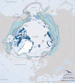
Arctic Definitions
A selection of maps representing the main definitions of "Arctic" is presented.
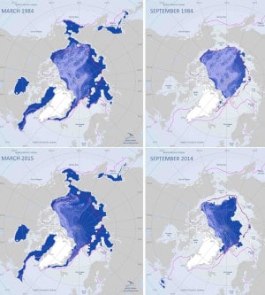
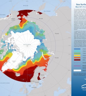
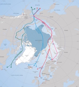
Arctic Sea Ice
A selection of maps representing the Arctic sea ice deposits at various points in time.
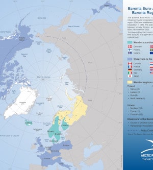
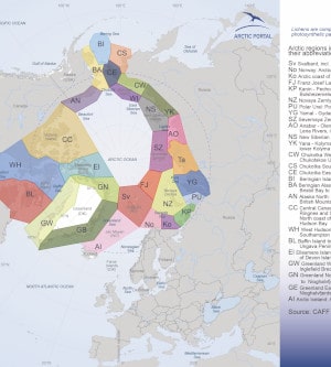
Governance & Arctic Organizations
A selection of maps representing the Governance & Organizations in the Arctic.