
Permafrost
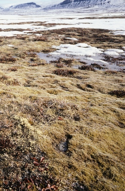
Permafrost covers a large area of the Arctic and a total of 25% of the earth surface. But what is it and why is it in the focal point of contemporary climate change research.
But what is Permafrost?
Permafrost is defined as ground (soil or rock and included ice or organic material) that remains at or below 0°C for at least two consecutive years. Therefore, the ground is permanently frozen, hence the name Permafrost.
Most of the permafrost that exists today was formed during cold glacial periods. It has persisted through interglacial periods the last 10,000 years.
Relatively shallow permafrost (30 to 70 meters) was formed during the last 6,000 years and some during the Little Ice Age (from 400 to 150 years ago).
In continental interiors, permafrost temperatures at the boundaries between continuous and discontinuous permafrost areas are generally about -5°C, corresponding roughly with the -8°C mean annual air temperature.
Permafrost in mid- and low- latitude mountains is warm and its distribution is closely related to characteristics of the land surface, slope gradient and orientation, vegetation patterns, and snow cover.
Subsea permafrost occurs close to 0°C over large areas of the Arctic continental shelf, where it was formed during the last glacial period on the exposed shelf landscapes.
Permafrost is geographically continuous beneath the ice-free regions of the Antarctic continent and occurs beneath areas in which the ice sheet is frozen to its bed.
Sources:Alfred Wegener InstitutionPAGE21