Facts
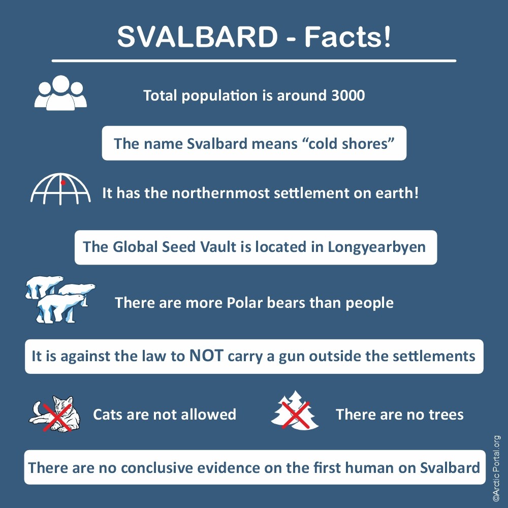
- Total population is around 3000
- The name Svalbard means "cold shores"
- It has the northernmost settlement on earth!
- The Global Seed Vault is located in Longyearbyen
- There are more Polar Bears than people
- It is against the law to NOT carry a gun outside the settlements
- Cats are not allowed
- There are no trees
- There is no conclusive evidence on the first human on Svalbard
People and Environment
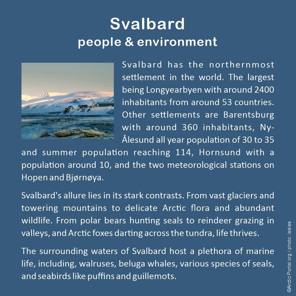
Svalbard has the northernmost settlement in the world. The largest being Longyearbyen with around 2400 inhabitants from around 53 countries. Other settlements are Barentsburg with around 360 inhabitants, Ny-Ålesund with an all-year population of 30 to 35 and a summer population reaching 114, Hornsund with a population of around 10, and the two meteorological stations on Hopen and Bjørnøya.
Svalbard's allure lies in its stark contrasts. From vast glaciers and towering mountains to delicate Arctic flora and abundant wildlife. From polar bears hunting seals to reindeer grazing in valleys, and Arctic foxes darting across the tundra, life thrives.
The surrounding waters of Svalbard host a plethora of marine life, including walruses, beluga whales, various species of seals, and seabirds like puffins and guillemots.
Research and Education
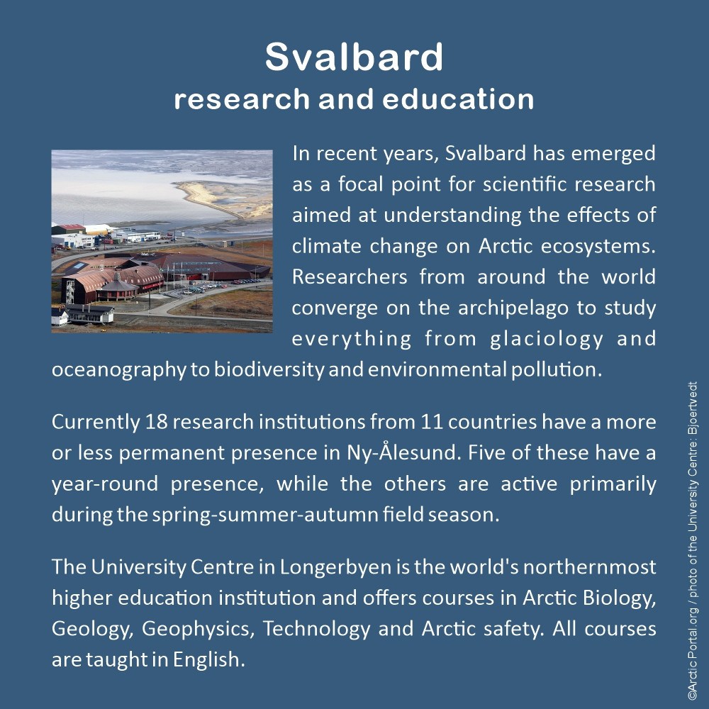
In recent years, Svalbard has emerged as a focal point for scientific research aimed at understanding the effects of climate change on Arctic ecosystems. Researchers from around the world converge on the archipelago to study everything from glaciology and oceanography to biodiversity and environmental pollution.
Currently, 18 research institutions from 11 countries have a more or less permanent presence in Ny-Ålesund. Five of these have a year-round presence, while the others are active primarily during the spring-summer-autumn field season.
The University Centre in Longyearbyen is the world's northernmost higher education institution and offers courses in Arctic Biology, Geology, Geophysics, Technology, and Arctic safety. All courses are taught in English.
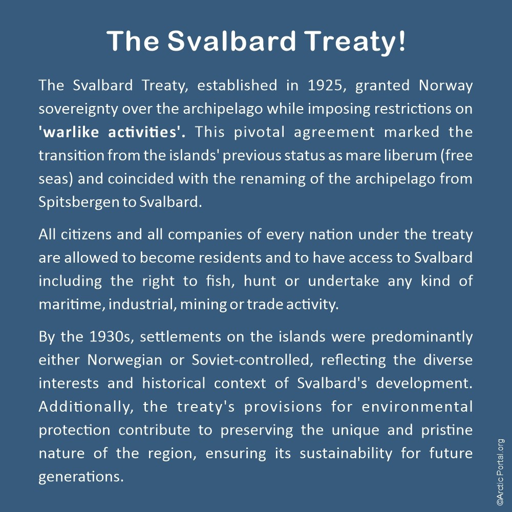
The Svalbard Treaty!
The Svalbard Treaty, established in 1925, granted Norway sovereignty over the archipelago while imposing restrictions on 'warlike activities'. This pivotal agreement marked the transition from the islands' previous status as mare liberum (free seas) and coincided with the renaming of the archipelago from Spitsbergen to Svalbard.
All citizens and all companies of every nation under the treaty are allowed to become residents and to have access to Svalbard, including the right to fish, hunt, or undertake any kind of maritime, industrial, mining, or trade activity.
By the 1930s, settlements on the islands were predominantly either Norwegian or Soviet-controlled, reflecting the diverse interests and historical context of Svalbard's development. Additionally, the treaty's provisions for environmental protection contribute to preserving the unique and pristine nature of the region, ensuring its sustainability for future generations.
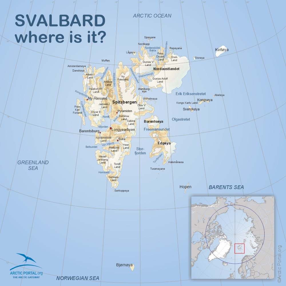
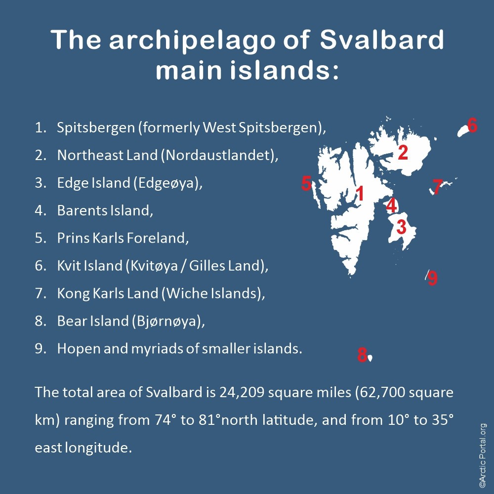
The archipelago of Svalbard - main islands
- Spitsbergen (formerly West Spitsbergen)
- Northeast Land (Nordaustlandet)
- Edge Island (Edgeøya)
- Barents Island
- Prins Karls Foreland
- Kvit Island (Kvitøya / Gilles Land)
- Kong Karls Land (Wiche Islands)
- Bear Island (Bjørnøya)
- Hopen and a myriad of smaller islands.
The total area of Svalbard is 24,209 square miles (62,700 square km), ranging from 74° to 81° north latitude, and from 10° to 35° east longitude.
See also our map of Arctic Definitions
Visit our Map Gallery. Arctic Portal specializes in creating customized graphical maps that cover a range of significant Arctic topics with global recognition. We are continuously working on new maps and adding them to our Gallery.

