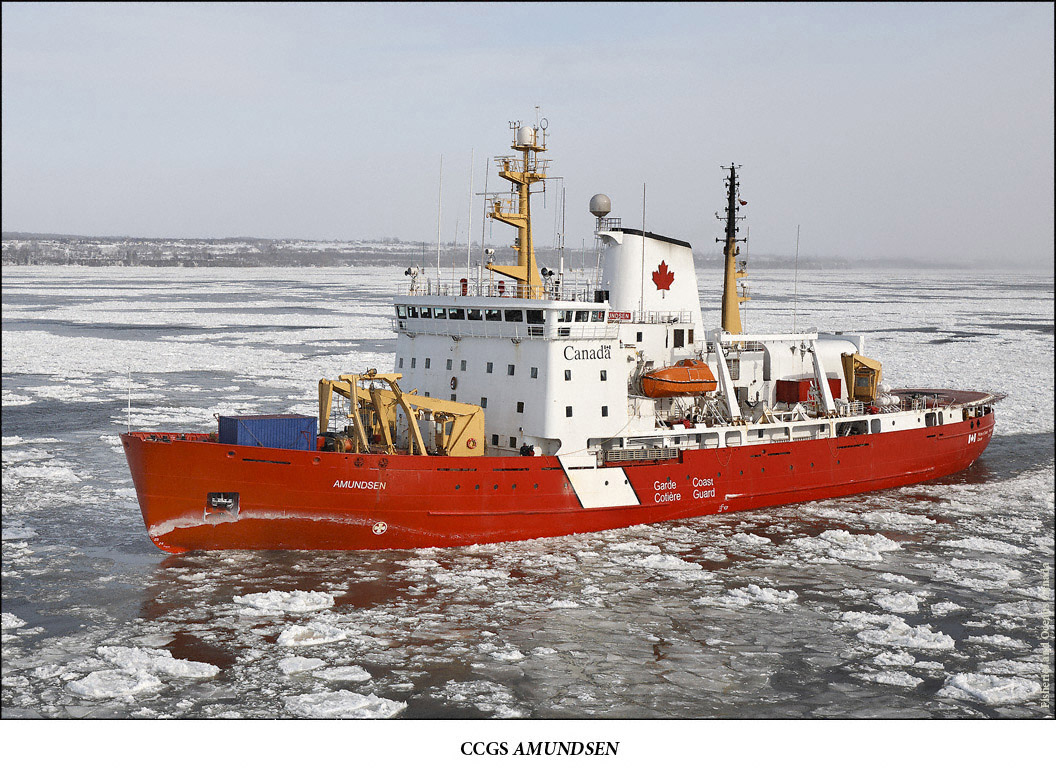
Due to the increased marine traffic in Arctic waters representatives from Denmark, Norway, Canada, Russia and the United States have set up a new Arctic Regional Hydrographic Commission.

The commission is intended to increase safety in Arctic waters by producing better nautical charts. During this summer several ships had problems while navigating in Arctic waters. The Clipper Adventurer hit a rock near Kugluktuk, the Nanny grounded on shoals near Gjoa Haven and a specially designed rowboat ran into quite a bit of problems as well. It is estimated that a dozen shops and smaller boats anchored outside Cambridge bay at the height of the season.
With the current decline in sea ice it is clear that traffic in the region will continue to increase and simultaneously the need for precise maps increases as the current lack of adequate charts may pose a significant risk for marine safety, potentially leading to loss of life or environmental disaster. Canadian ice specialists have said only about 10% of Arctic waters of Canada have been charted properly. The process of creating better maps have already started with the Icebreaker Amundsen using echo-sounding technologies to chart amongst other areas lancaster sound in the beginning of august.
