
As reported by The Northern Sea Route Administration, this year´s sailing season through the Arctic shortcut will probably be busiest in the history. The first vessels are to hit the route in the end of this month.
The Northern Sea Route Administration has so far received 89 applications to use the Northern Sea Route (NSR). 54 vessels have so far been given permission to sail along the route, the administration's web site reads. All the vessels will not sail the whole route between Europe and Russia, some of them will only be working on the western part of the route from Dudinka to Murmansk.
The total cargo transported on the NSR last year was 1 261 545 tons – a 53 percent increase from 2011, when 820 789 tons was shipped on the route. According to conservative estimates the amount will grow to 1, 5 million tons in 2013.
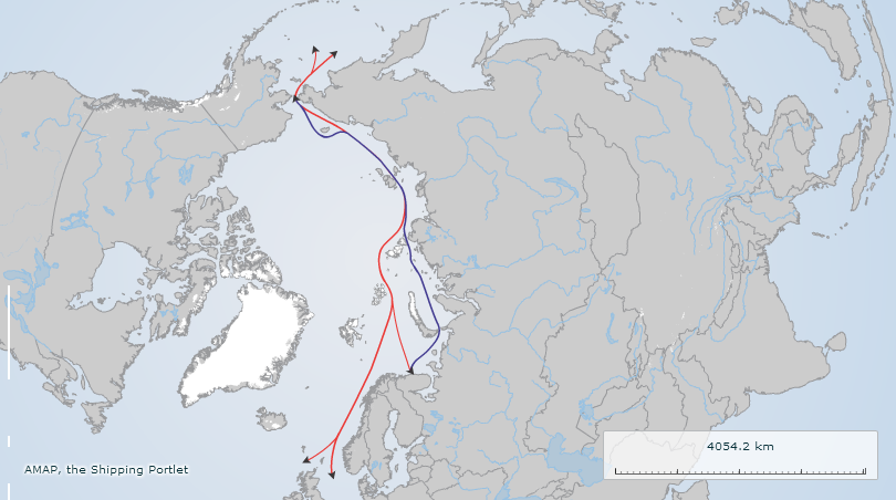
The Northern Sea Route is a shipping lane officially defined by Russian legislation from the Atlantic Ocean to the Pacific Ocean specifically running along the Russian Arctic coast from Murmansk on the Barents Sea, along Siberia, to the Bering Strait and Far East.
The entire route lies in Arctic waters and parts are free of ice for only two months per year. Before the beginning of the 20th century it was called the Northeast Passage, and is still sometimes referred to by that name.